2D Drawings
Builders, Architects or Designers:
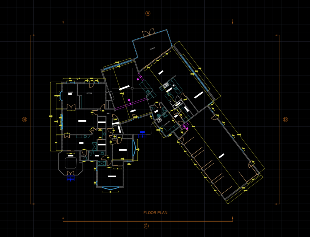
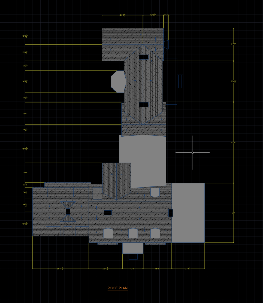
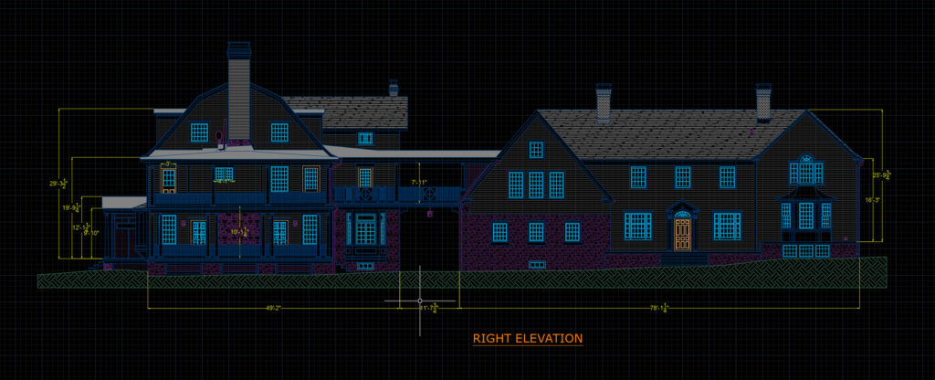
Have us scan your space at any phase of the project. Our cameras capture the space visually, and also use infrared and Lidar technology to simultaneously measure the spaces with very high accuracy. This means with one scan, we can efficiently produce dimensioned 2D floor plans and exterior elevations, a 3d Revit model, as well as the full 3D immersive walkthrough.


Realtors:
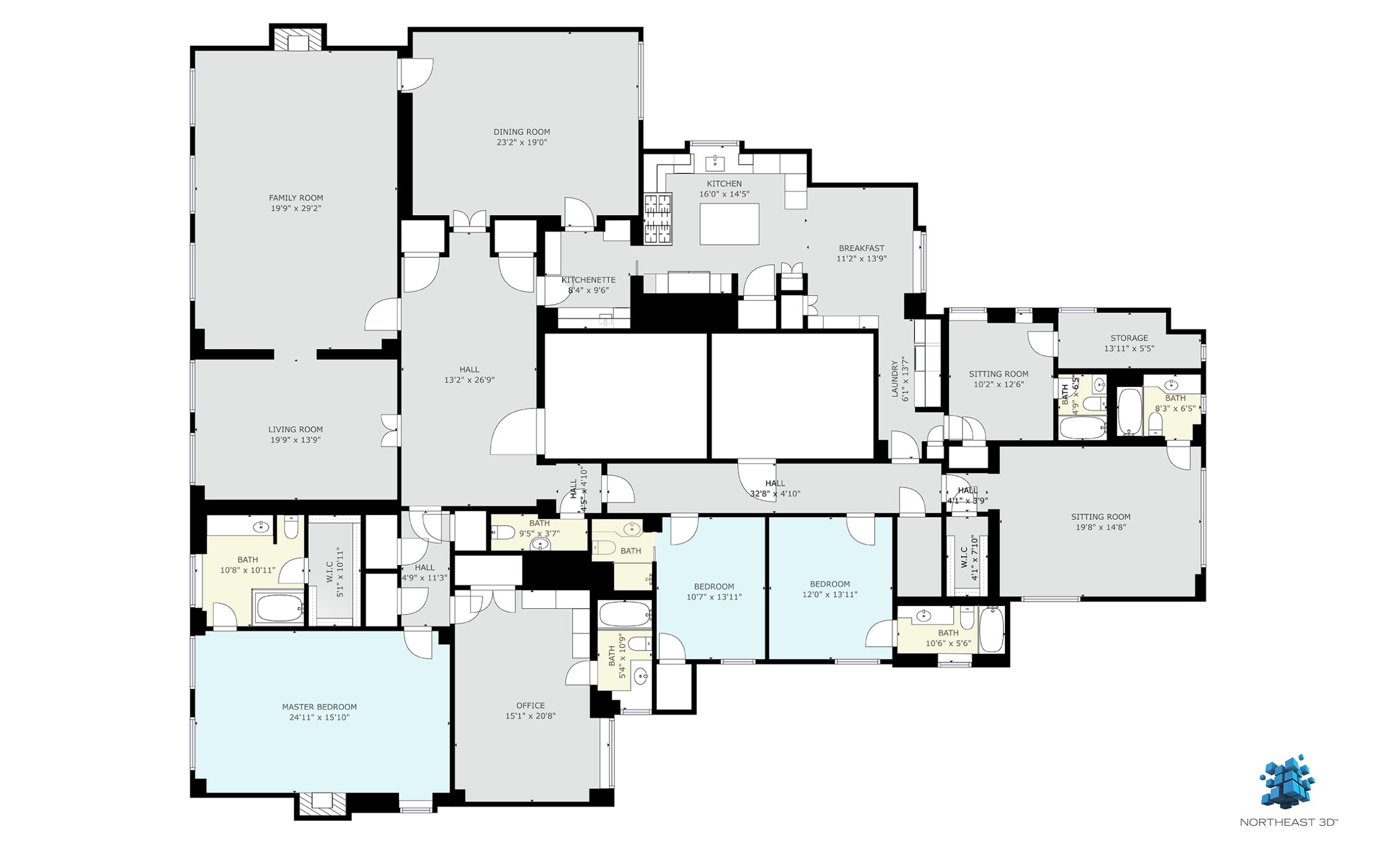
These 2D floor plans can be used by potential buyers to understand the spaces better and be sure their furnishings fit their new home.

